3D Printing
US Topgraphic Map
August-November 2025
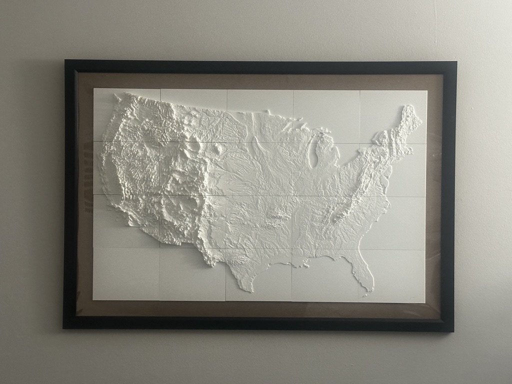 This is my second 3D printed US topo map. Unlike the first one (below), where I printed each state individually from a set of freely available designs, this was printed as 20 separate tiles that I created in QGIS. I then glued the tiles to the front of a poster frame, creating a sturdier piece than the first version.
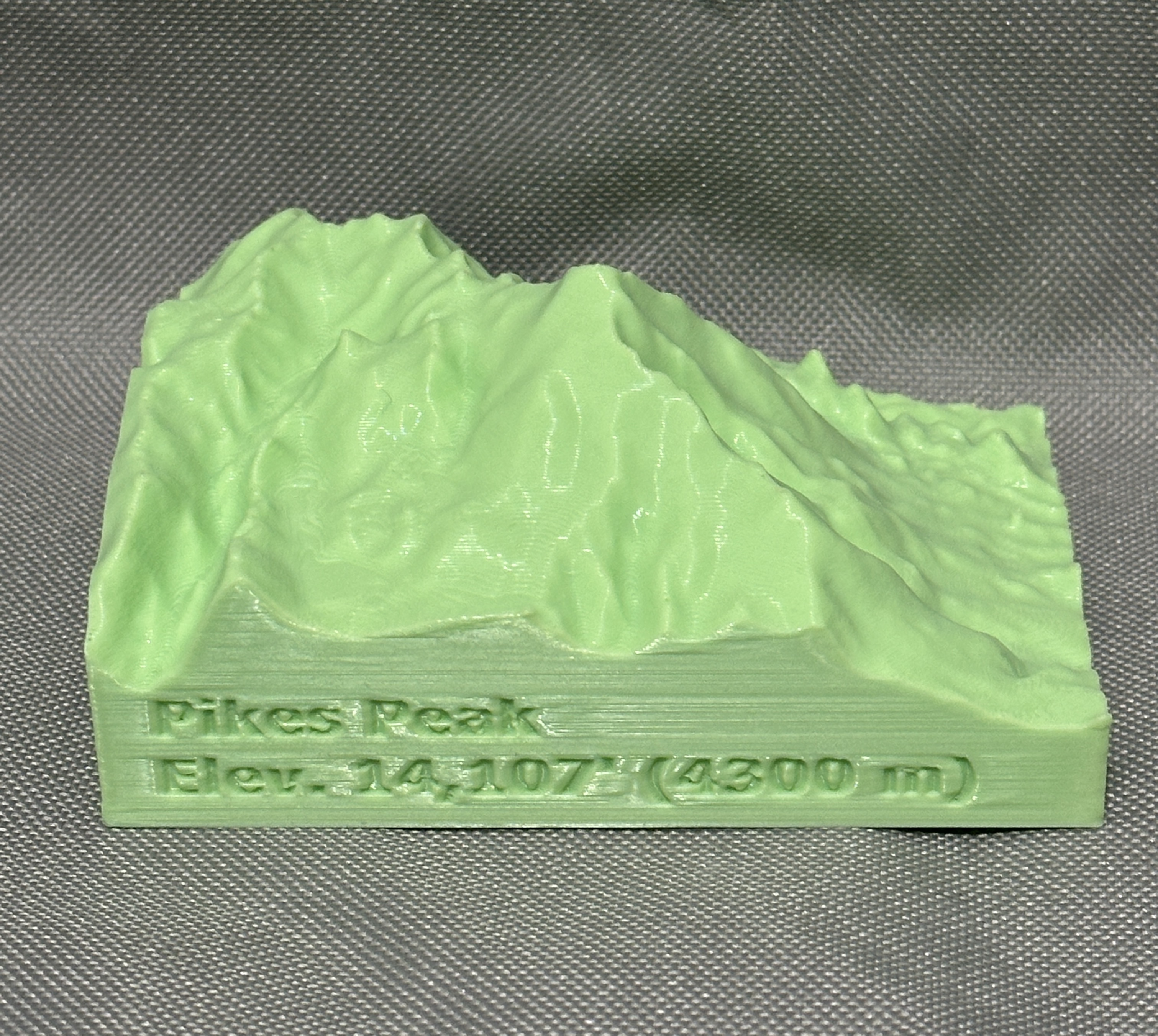
Mini topo maps
December 2025-present
Lithophanes (WIP)
December 2025-present
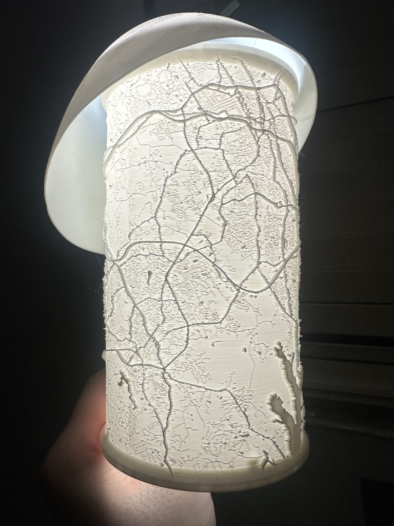
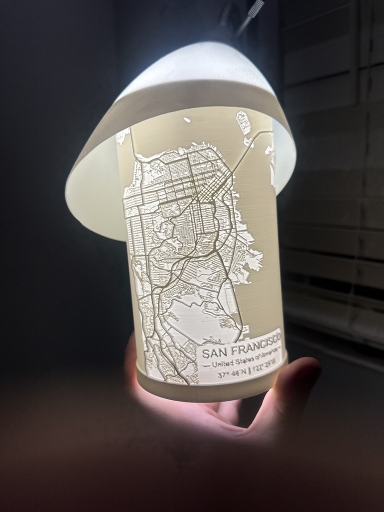
Right: San Francisco and Oakland.
3D Printed Topographic Map of Contiguous US
March-October 2021
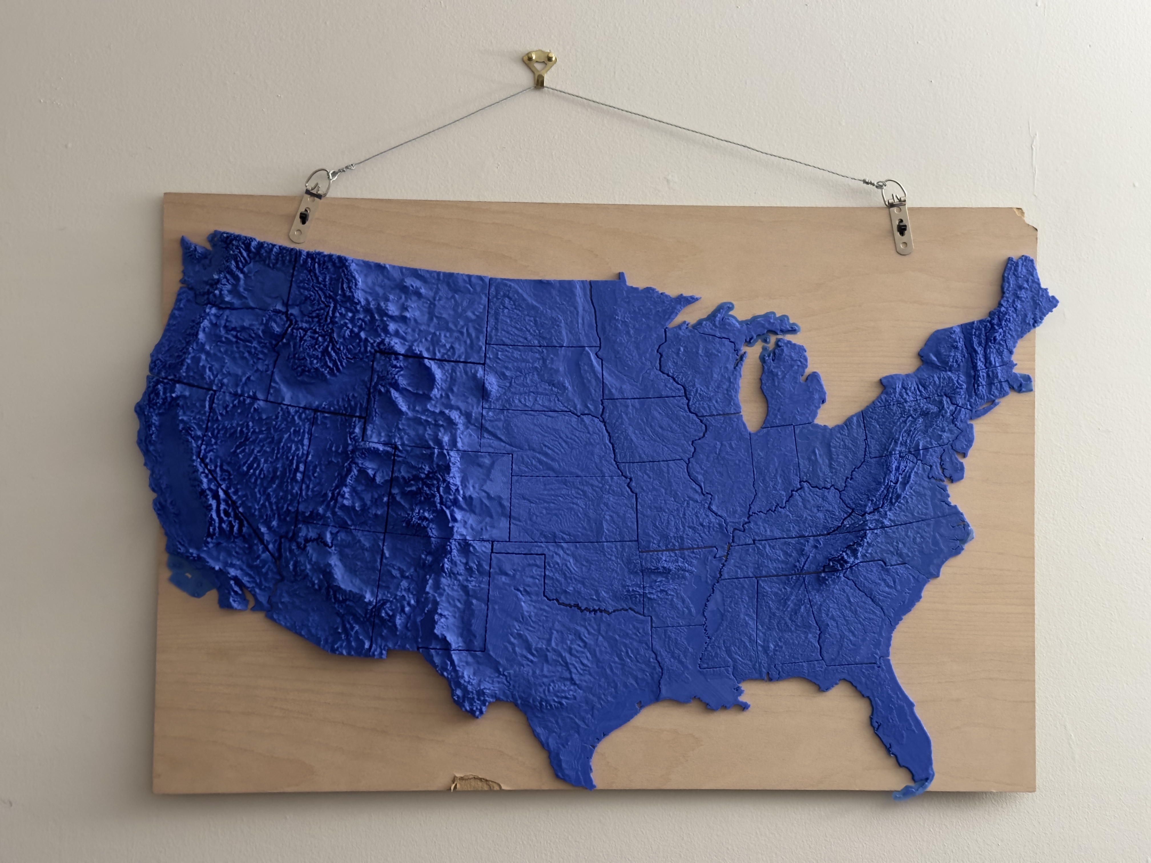 This took several months, printing each state individually with a lot of time spent dialing in print settings. Done in PLA with 0.2 mm layer height.